La Palma, also known as San Miguel de La Palma, is one of the 7 largest of the Canary Islands.
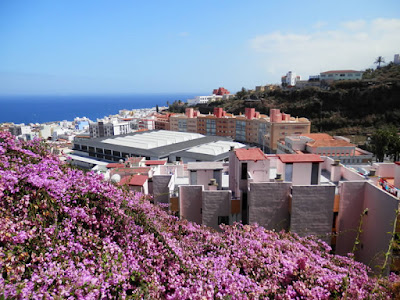
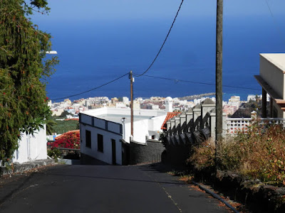
also called Isla Bonita (Beautiful Island), La Palma is famous for its beautiful natural scenery and breathtaking views offered to those who have the good fortune to visit (or live in).
With a domestic flight of Binter Canarias company are so came in just over an hour, the Isla Bonita.
From the airport I then took the guagua (bus) number 500 to Santa Cruz, the capital, not far and well served.
immediately left the luggage in the hotel (Pension La Cubana, spartan, but in the center) and did a quick snack for lunch, they left immediately to the discovery of La Palma.
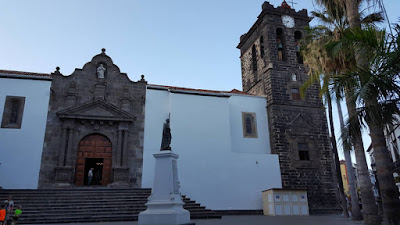
As I wrote earlier, my basic point was the city of Santa Cruz, which I immediately turned the charming old town, very well maintained and quaint.
My second day in La Palma was dedicated to the visit of the natural pools of Charco Azul (free), from which I then I visited, going on foot, the city of San Andrés and Los Sauces.
To get to the pools Charco Azul from Santa Cruz must first take the number 100 bus to Los Sauces, then another smaller bus, number 104.
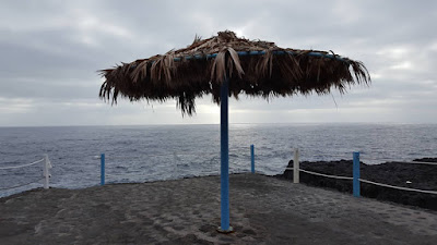
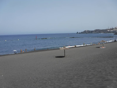
In fact, the initial program was another, but because of the fire that hit the island of La Palma (caused by a German tourist careless), all the mountain trails were closed, so I had to improvise. So, after swimming, I returned to Santa Cruz and I visited the nearby black sand beach called Playa de Bajamar, in the village of Brena Alta.
The beach is within walking distance from Santa Cruz, although it is a bit 'lontanina. But I saw they were building a new playa right near the center of Santa Cruz ... a shame that it was not over yet when I arrived: p
The third day on the island of La Palma I spent in Fuencaliente (Los Canarios, Bus 200 from Santa Cruz), the southern area of the island where the flames of the famous fire came.
Unfortunately the paths were still closed, so I could not do the whole route de los volcanes, but I have visited the volcano San Antonio (5 euro entry, a bit 'theft), where there was a wind that is He wore.
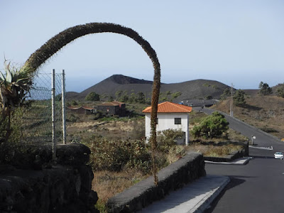
Then I decided to walk down to the lighthouse along the initial route (or end, depending on your point of view) de la route de los volcanes, so seeing lunar landscapes, lava flows dried up, and the Teneguia volcano.
From the lighthouse I then took the bus number 203 and came back to Fuencaliente, from which they are then returned to Santa Cruz.
The fourth and last day of vacation in La Palma decided to try to see the famous forest of Los Tilos (or Los Tiles).
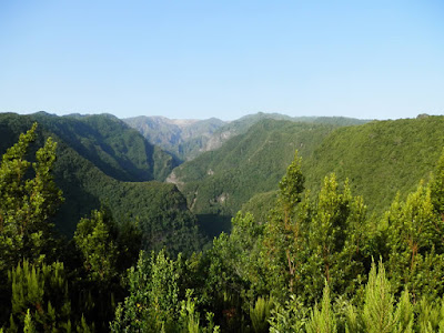
Even when I went to Los Sauces with guagua number 100, I then walk path a steep uphill road leading to the shelter and to a viewpoint on the immense green forest.
Here I open a small parenthesis on the speech public transport: yes, the island is well connected and served by various bus, but it is a little 'uncomfortable for the various attractions.
In this case, for example, it was best to get to the refuge with a cheap minibus, which really seems to me that there was not ... so the only alternatives were: to walk, take a taxi, or take a guided tour.
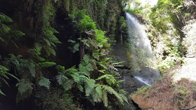
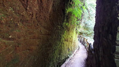
For this reason, coming to the shelter already tired, I did not enter that much in the Los Tilos forest. But at least I saw a beautiful waterfall and species of very suggestive caves / tunnels.
Returning from Los Tilos I wanted to go into the land of Tijarafe to see the houses / restaurants built on the caves overlooking the sea, but I found that to make those few kilometers north of the island it took almost 3 hours ... too many, so I decided to focus on Puerto Naos (again the number 100 bus to Santa Cruz, then the number 300 to Los Llanos, and finally the 204), a popular seaside resort.
Below the link to the playlist with all videos shot in La Palma:
https://www.youtube.com/playlist?list=PLCBrso9WwkFbuc7Sp2gZY9E0s3QTyLqBM
The island of La Palma I really liked it.
So many beautiful views, good beaches, volcanoes with very characteristic landscapes, and a lot of nature.
La Palma is ideal for those who want to spend a hiking holiday, although I think it needs a little 'growth in transport, to make things easier for those who did not have a car and can not (or will not) Take a taxi :)
Bad luck would have it capitassi in Palm immediately after the fire (which was actually not yet been tamed at all), so I could not see some things.
Then, for lack of time, I have also lost the central part of the island, the beautiful Parque Nacional de la Caldera, and a visit to the telescopes of the Roque de los Muchachos.
Even the biosphere reserve of Los Tilos, definitely deserved the full tour ... shame, maybe next time.
A final briefing:
To visit La Palma, in addition to the usual navigator and my trusty guide, I also used a mobile app very useful, his name is Siente La Palma.
This application contains many photos and information on La Palma, but above many paths already traced and ready to be used with the GPS Navigator :)
In La Palma I did a photo tide, and those that I put in this post are just a taste. Therefore I strongly recommend guardarvele all by clicking the link below.


